
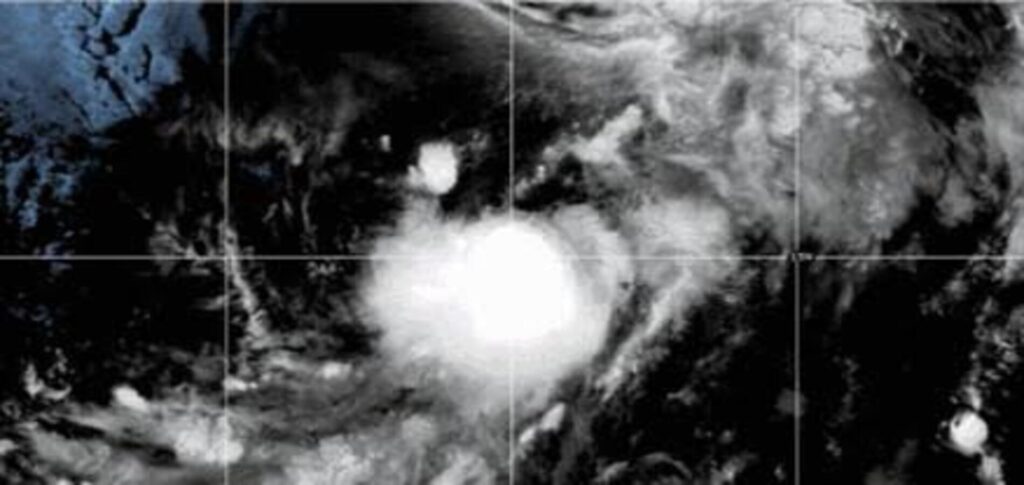
Tropical Storm Iselle is expected to absorb Tropical Storm Julio in the Pacific Ocean on Tuesday.
The stronger Iselle is moving north of Julio. Forecasters expect the two systems to interact later in the day.
The National Hurricane Center in Miami announced Julio’s formation early Tuesday.
At the time, Julio sat about 675 miles west-southwest of the southern tip of Mexico’s Baja California peninsula.
The storm had maximum sustained winds of about 50 mph.
Forecasters said Julio would likely merge with Iselle later Tuesday.
Neither storm currently has a coastal watch or warning in effect.
Iselle Remains the Stronger Storm
Iselle was located about 730 miles west of the Baja California peninsula.
The storm had maximum sustained winds of 70 mph.
That made Iselle significantly stronger than Julio as the two systems moved closer together.
Neither storm currently poses a direct threat to coastal communities, according to the National Hurricane Center.
Forecasters will continue to monitor both systems as their interaction develops.
Tropical Storm Lala Remains in Central Pacific
Another storm was also active in the Central Pacific.
Tropical Storm Lala continued to move across the region with winds of about 50 mph.
Lala was not threatening land at the time of the latest forecast.
Earlier this month, Lala reached hurricane strength before affecting Hawaii.
Its outer bands brought heavy rain and destructive flooding to parts of the islands.
Moke No Longer a Tropical Cyclone
The National Hurricane Center also said Moke no longer qualified as a tropical cyclone.
Moke had previously passed near Hawaii as a tropical storm.
The system weakened after moving through the region.
Forecasters will continue tracking Iselle, Julio and other tropical systems across the Pacific. Their positions and strength can change quickly, so weather officials will update forecasts as the storms interact or weaken. Residents should continue checking official weather updates.